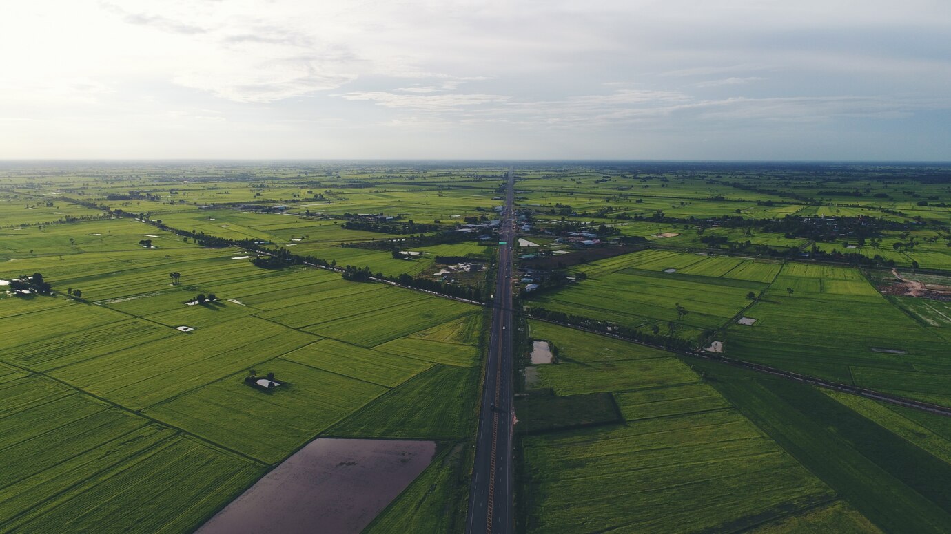
In the world of land development and construction, one of the most essential tools for effective planning and design is accurate information about the land itself. This is where topographical surveys come into play. These surveys are vital for capturing the features of the land, both natural and man-made, and they provide a three-dimensional representation of the terrain. From the construction of residential homes to large-scale infrastructure projects, topographical surveys are essential for ensuring successful, efficient, and compliant land development.
What Are Topographical Surveys?
A topographical survey is a detailed representation of the physical features of a specific piece of land. These surveys map out the land’s natural and man-made elements, including the terrain’s elevation, vegetation, buildings, roads, water sources, and more. The goal of a topographical survey is to capture the precise layout of the land, including its contours and other critical features that influence the planning and design of a construction project.
For developers, architects, and engineers, topographical surveys provide essential data that helps avoid issues during the construction process. These surveys provide a comprehensive view of a site, highlighting its advantages and challenges—whether it’s the presence of natural obstacles, the slope of the land, or the location of existing utilities. Accurate data ensures that plans can be made based on the most reliable information available, improving efficiency and reducing risks.
In New Zealand, topographical surveys are often required for a range of purposes, including obtaining resource consents, designing infrastructure, and planning subdivisions. These surveys play a crucial role in ensuring that projects comply with local regulations, zoning requirements, and environmental considerations.
Why Are Topographical Surveys Essential?
Whether you’re designing a new building, subdivision, or road, the foundation of the project lies in understanding the land’s features. Topographical surveys provide the precise data that allows architects and engineers to design structures that fit the landscape. The survey data helps in understanding the elevation, slopes, water drainage, and proximity to existing utilities, ensuring that the design is viable and sustainable.
Identifying Risks and Planning Ahead
For example, in areas prone to flooding or uneven terrain, a topographical survey can highlight potential challenges early in the planning process, allowing the project team to develop solutions that mitigate these risks. In turn, this leads to better-designed structures that are not only functional but also safe and cost-effective.
Supporting Compliance with NZ Regulations
Before starting any land development project, developers must ensure their plans meet local zoning and environmental regulations. Topographical surveys are essential tools in this regard, as they provide accurate and reliable data that is used in the application process for building permits, resource consents, and other regulatory approvals.
Ensuring Environmental Responsibility
In New Zealand, the Resource Management Act (RMA) governs land use and development, and topographical surveys are often required to demonstrate that a proposed project will not negatively impact the environment or neighboring properties. These surveys allow planners and developers to assess the topography of a site, including its watercourses, vegetation, and natural features, helping to ensure compliance with environmental standards.
Avoiding Costly Mistakes
Accurate survey data helps developers make more informed decisions. By providing a clear picture of the land’s existing features, a topographical survey enables project managers to avoid costly mistakes, such as having to make unexpected adjustments during the construction process.
Uncovering Hidden Hazards
A survey can reveal potential hazards, such as steep slopes or areas with unstable soil, that could increase construction costs if not addressed early in the planning process. Additionally, knowing the precise location of existing utilities, such as water pipes or power lines, can prevent costly relocations or interruptions during construction.
Preparing the Site Efficiently
Topographical surveys are vital for proper site preparation. By identifying the natural contours and elevations of the land, surveyors provide valuable data that allows construction teams to prepare the site efficiently. For example, understanding the slope of the land is essential when designing foundations and drainage systems. It helps determine where to place buildings to minimize excavation and reduce construction costs.
Informing Infrastructure Design
For infrastructure projects such as roads, bridges, or drainage systems, topographical surveys provide crucial information that informs design choices. The survey data helps engineers and contractors plan how to modify the land, such as leveling uneven surfaces or creating adequate drainage to prevent flooding.
Lysaght Consultants: Providing Comprehensive Topographical Surveys in New Zealand
Lysaght Consultants is one of New Zealand’s leading providers of topographical surveys. They specialize in providing accurate, reliable, and detailed survey data that is essential for a wide variety of land development projects. From residential developments to large-scale infrastructure projects, Lysaght Consultants offers a range of surveying services that ensure the success of your project.
Lysaght Consultants utilizes state-of-the-art technology, including traditional surveying methods, drone technology, and LIDAR (Light Detection and Ranging) surveys, to capture the most precise data possible. Whether you need to map a small plot of land for a home construction project or require a large-scale topographical survey for a subdivision or infrastructure project, their team of experienced surveyors ensures that every aspect of the land is accurately captured.
Conclusion
Topographical surveys are an essential part of land development in New Zealand, offering a comprehensive view of the land’s natural and man-made features. They provide the critical information needed for effective planning, regulatory compliance, cost-effective decision-making, and successful site preparation. By partnering with Lysaght Consultants, developers and planners can ensure they have access to accurate and detailed topographical survey data, laying the groundwork for a successful and efficient land development project.


Leave a Reply